top of page

Create Your First Project
Start adding your projects to your portfolio. Click on "Manage Projects" to get started


Quarry 3D Modeling
Link
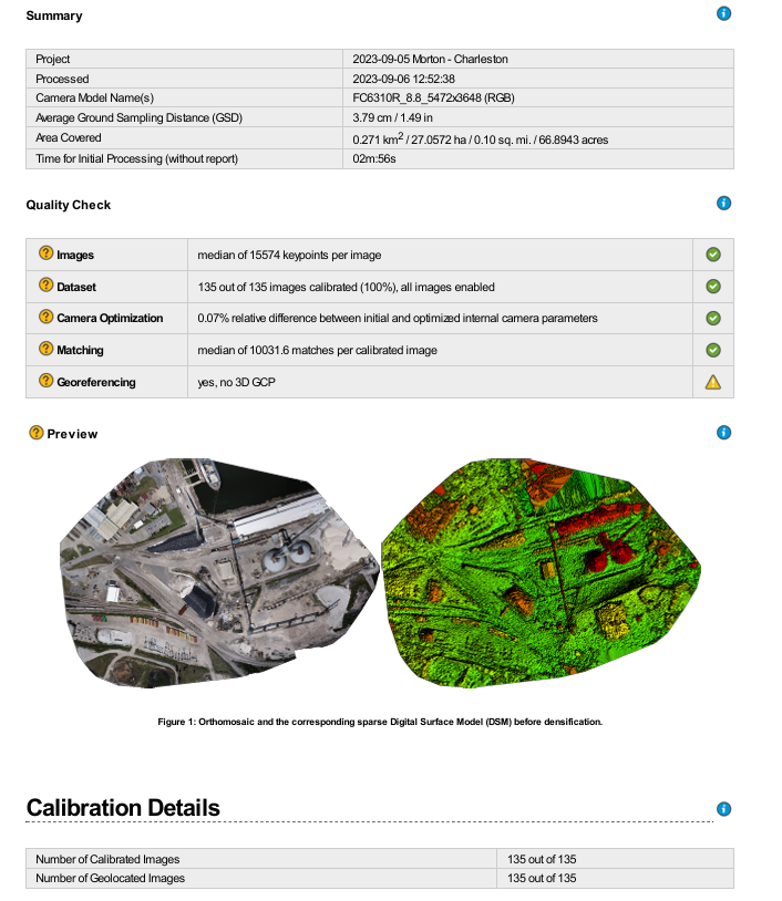
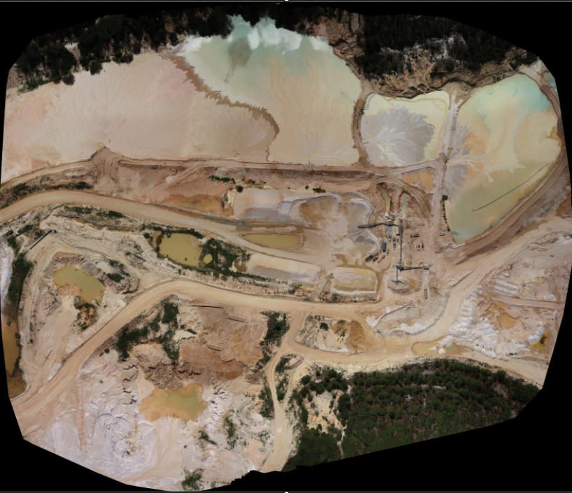
This page features 3D model screenshots along with sample accuracy reports of a quarry's and its surrounding landscape, capturing the detailed representation of the quarry and the natural environment. These maps were used to calculate densities, cut/fill, and inventory. Accuracy was insured by using DJI Mavic 3 Enterprise and the Trimble R8 GPS receiver along with Klau to ensure precision.


bottom of page